Footpaths and Field boundaries
What survives today
Topic 6: Footpaths and Field boundaries
While looking around for early settlement remains, it is worth looking at footpaths and field boundaries.
Enclosed fields
Early enclosed fields (often called a close) can sometimes be identified by their small size and their shape.
A series of long narrow rectangular fields can be a relic of medieval land division. These often extend away from the roads and may have a lane or footpath behind them.
Footpaths
Footpaths that have sunken, or are hedge lined, can be the surviving elements of the medieval road system.
Medieval roads were not paved and were mainly used by pedestrian traffic. As a result they are often narrow green lanes with names like Beggar’s Lane or Pedar’s Lane.
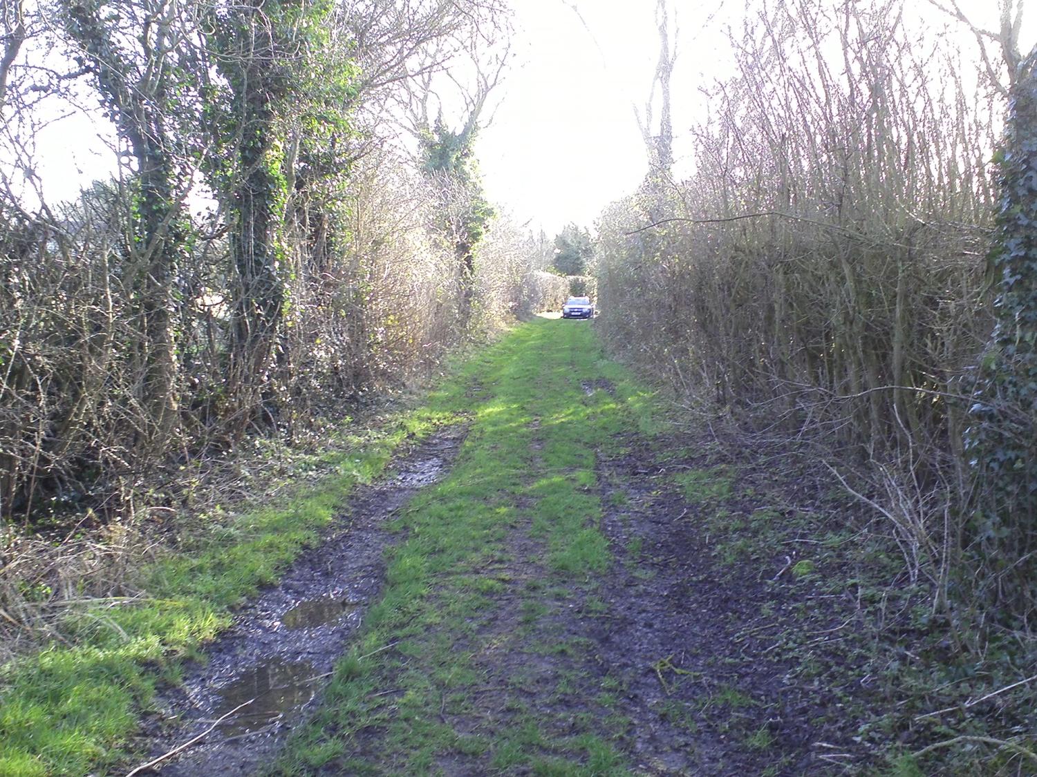
Baker’s Lane in Westborough (Photo: Heritage Lincolnshire)
Hedgerows
Whilst we are on the subject of field boundaries and lanes, it is worth mentioning the principle of hedgerow dating. In simple terms, the more species of tree or shrub found together in a hedgerow, the older the hedgerow is likely to be. This is not a precise method of dating, and the result can be influenced by a number of human and environmental factors, but it does provide an indication of the longevity of a hedge boundary.
To get a very approximate idea of the age of a hedge simply walk a 27m-long stretch of the hedge and try to spot each of the different tree species. This is most easily done in summer, when you can collect the different leaves. If you wish you can use a reference book or the Woodland Trust’s Leaf iDial:
Download Woodland Trust Leaf iDial
However, for the date, the most important thing is the number of different species. Very approximately, each different species suggests a hundred years date for the hedgerow.
Having had a look at the medieval relics that are still present in our modern landscape, it is now time to look at how we can find out more about these features and start extrapolating what the overall settlement looked like.