Land Divisions
Topic 5: Land Divisions
Now, we need to set that individual story in the context of pattern of Lincolnshire’s medieval settlement as a whole.
By the time of the Norman invasion of 1066, Lincolnshire was a county of the kingdom of England. The county was administered by a high sheriff and was divided in various ways for various purposes.
Administration
For the purposes of administration, the county was divided into wards known either as hundreds or, in areas of Danish influence, Wapentakes.
These were essentially geographical land divisions of approximately 3000 acres (100 hides of land).

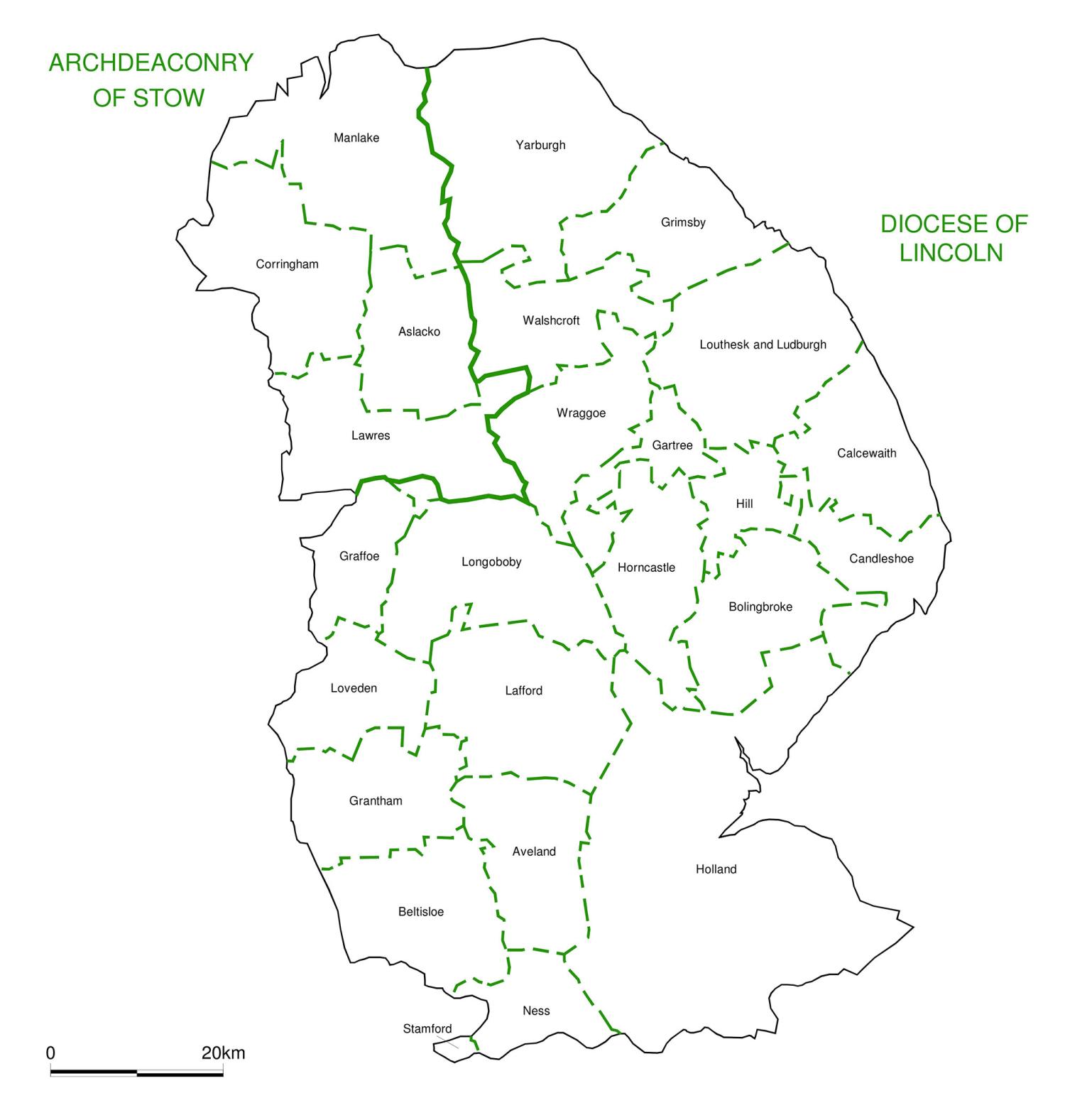
Ecclesiastical
For ecclesiastical purposes the county was an archdeaconry of the diocese of Lincoln. However, from the mid twelfth century onwards the northwest of the county became separated into the archdeaconry of Stow.
These archdeaconries were divided into deaneries, which were further subdivided into parishes.
Ownership
Land ownership provided a third form of administrative boundary to the county; this was the manor.
Although people generally associate the term manor with the sites of manorial houses, in the medieval sense they were a much larger unit of land ownership.
As the medieval period progressed, some settlements became larger and economically powerful and the administrative boundaries were altered to reflect this. Some settlements within parishes became large enough to be separated into their own parish, and some towns were granted charters giving them considerable administrative autonomy.